




Ewe-speaking communities live across southeastern Ghana, southern Togo and parts of Benin. Families, towns and cultural networks cross borders that now divide these countries. Those frontiers were built over time by colonial competition, war and postwar political decisions. They changed government and citizenship, but they did not erase every relationship or local identity.

Before the colonial borders: connected, distinct communities
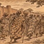
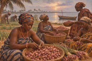
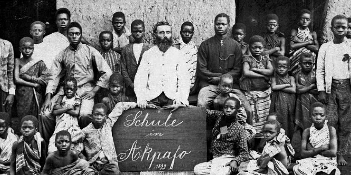
Before European rule, people in the lower Volta and Mono region lived in towns and political communities with their own leaders, histories and institutions. They were connected through kinship, trade, language, migration, religious practice and ceremony. These relationships formed a wider Ewe-speaking world, but they did not amount to one centralized Ewe kingdom governing every town. Local histories matter: Anlo, Aŋlɔ, Peki, Ho, Kpando, Keta and communities farther east have their own accounts and political pasts.

That distinction helps explain why the later border question was never simply a matter of drawing a line through one uniform nation. Colonial maps divided people who already had connections, while those same communities retained differences in authority, identity and memory. Even the word “Ewe” can carry different meanings in different places and periods; it should not be used to flatten local identities.
How European empires drew new lines
In the late nineteenth century, Britain, Germany and France competed to control territory in West Africa. Germany established its Togoland protectorate in 1884. Britain governed the Gold Coast to the west, while France extended its authority over Dahomey to the east. Agreements between European governments fixed boundaries for their administrations without asking all the communities living along them to design a shared political map.
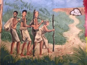
As a result, Ewe-speaking communities found themselves under different colonial governments. Rule affected practical matters such as taxation, courts, schools, roads and official languages. It also created new administrative divisions between towns and families whose ties had previously stretched across the region. These changes did not happen everywhere in the same way, and colonial boundaries were adjusted more than once.
War divided German Togoland again
At the start of the First World War, British and French forces invaded German Togoland in August 1914. Germany’s colonial administration surrendered within weeks. Britain and France then occupied and administered different zones. After the war, the former German colony was placed under the League of Nations mandate system, with a western area administered by Britain and an eastern area by France.
The new Anglo-French boundary separated communities and reshaped local administration. In some places, it complicated access to family land, markets, schools or chiefly institutions. Elsewhere, people continued to travel and maintain cross-border ties. The frontier was a real political line, but its effects depended on where people lived, which authorities they dealt with and what movement meant in their daily lives.
Trusteeship, the 1956 vote and two independent countries
After the Second World War, the United Nations replaced the League mandate with trusteeship. British Togoland remained a separate Trust Territory alongside, but not yet part of, the Gold Coast. Political movements debated what should happen next. Some advocates sought a united Togoland; others supported joining the Gold Coast, while positions differed by locality and political organization. The period’s “Ablɔɖe” (freedom) politics cannot be reduced to one unanimous Ewe position.
In 1956 the people participating in a United Nations-supervised plebiscite in British Togoland chose between union with an independent Gold Coast and continued separation under trusteeship. A majority voted for union. The vote concerned the Trust Territory under British administration, not every Ewe-speaking community across the region; the outcome also varied by district. British Togoland joined Ghana when the Gold Coast became independent in 1957. French Togoland followed a different path and became the independent Republic of Togo in 1960. Dahomey, to the east, also became independent in 1960 and later took the name Benin.
What borders changed—and what they could not erase
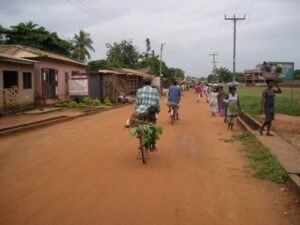
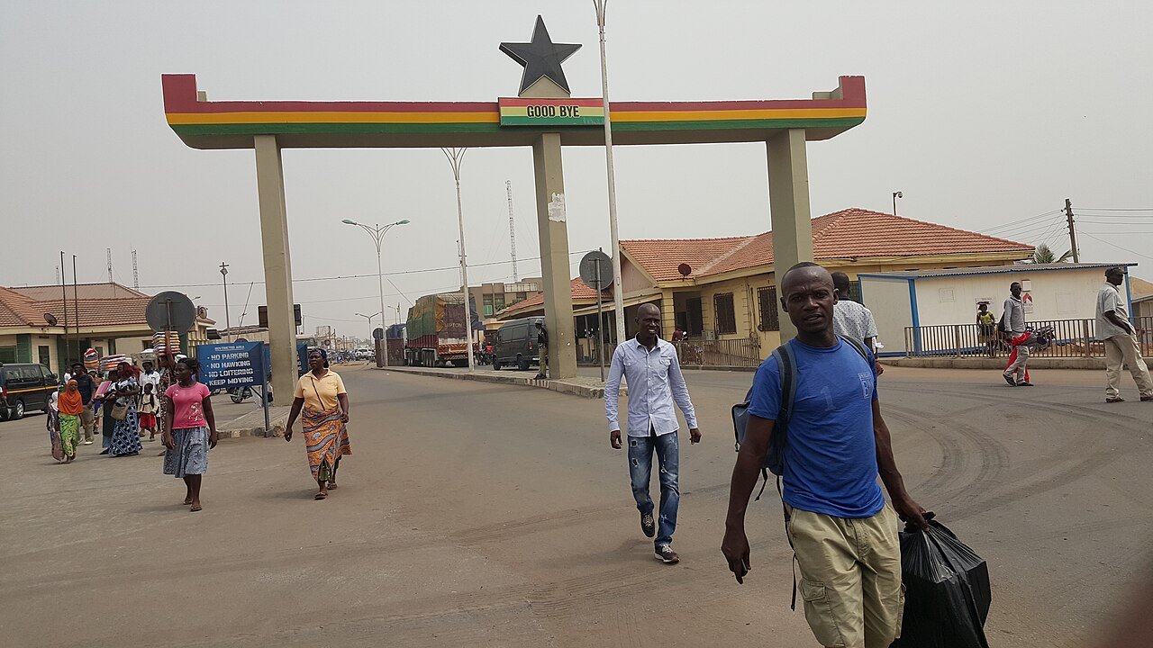
New state borders brought different passports, laws, school systems and public languages. They shaped how people met government and how later generations learned national history. Yet shared language, family relationships, religious and chiefly institutions, festivals and trade did not simply stop at customs posts. Research on the Ghana–Togo border describes how some people experience the line as a serious constraint, while for others particular relationships and journeys continue across it. A border’s meaning is lived locally.
This layered history also helps explain why a person may feel both Ghanaian or Togolese and part of an Ewe-speaking community that reaches across national boundaries. Those identities do not cancel each other out. They grew through different histories: the older histories of towns and families, and the more recent histories of colonial rule, trusteeship and independence.
Did you know? The 1956 plebiscite did not ask voters to choose between Ghana and Togo. It asked residents of British Togoland whether the Trust Territory should unite with an independent Gold Coast or remain separate under United Nations trusteeship. The decision helped shape today’s Ghana–Togo border.
Sources and further reading
- Edem Adotey, “International Chiefs: Chieftaincy, Rituals and the Reproduction of Transborder Ewe Ethnic Communities on the Ghana–Togo Boundary,” Africa.
- Edem Adotey, “Anatomy of a Border: Contradictory Discourses on Othering and Mobilities on the Ghana–Togo Border.”
- United Nations, Report on the future of Togoland under British administration (1956).
- United Kingdom, Togoland under United Kingdom Trusteeship (Plebiscite) Order in Council, 1955.
Share: